
Some destinations, like Dalapchand Silk Route Kalimpong, exist because someone put them on a map, and others exist because the landscape demanded them. Dalapchand is the second kind.
Sitting right on the border zone between Kalimpong district in West Bengal and Pakyong district in East Sikkim, this quiet mountain hamlet occupies a genuinely rare position. In this place, two states, two ecological zones, and two distinct Himalayan travel worlds meet on a single ridge.
To the west, the familiar hills of Kalimpong district stretch toward Darjeeling and the plains. To the east and north, the high-altitude frontier of Sikkim begins its long climb toward passes, glaciers, and the roof of the subcontinent.
Dalapchand Silk Route Kalimpong sits in between. And being in between, it turns out, is an excellent place to be.
For years, this village was quietly overshadowed by the established names on either side — Kalimpong town, Gangtok, Pedong, Aritar. Travellers passed through the corridor it occupies without stopping, heading for somewhere more famous. That’s changing.
The Old Silk Route eco-tourism circuit has been drawing increasing attention across the Eastern Himalayas, and Dalapchand has emerged as one of its most strategically positioned — and least crowded — gateway destinations.
The Old Silk Route — Why This Corridor Matters
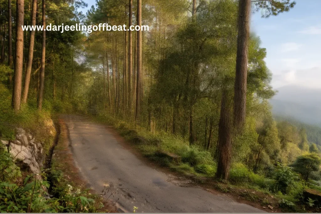
Before the modern highway system reshaped trade across the Eastern Himalayas, goods moved between the Indian subcontinent and Tibet along ancient mountain routes. The Old Silk Route through this part of Sikkim and Kalimpong was one of the primary arteries — a path worn into the landscape by centuries of merchants, monks, pilgrims, and soldiers moving between Bengal, Bhutan, Sikkim, and Tibet.
The physical corridor of that old trade route still exists. Villages along it — Aritar, Pedong, Reshikhola, Rongli, and Dalapchand among them — retain an atmosphere shaped by that history: multi-ethnic communities, hybrid architecture, culinary traditions pulled from multiple cultural directions, and a geographical openness that comes from sitting on a route that was always meant to connect rather than enclose.
Travelling the Silk Route corridor today is not a heritage exercise or a museum visit. It’s simply what happens when you move through a landscape that has been genuinely lived in for a very long time. Dalapchand Silk Route Kalimpong is one of the quieter points on that route — which is precisely what makes it worth stopping at.
Getting to Dalapchand Silk Route Kalimpong
The access route to Dalapchand Silk Route Kalimpong runs through some of the most scenic road corridors in the Eastern Himalayas, which is worth knowing because the journey itself is part of the experience.
The primary approach ascends from the Siliguri–NJP transport artery, climbing through Kalimpong town, then continuing through Algarah and Pedong before reaching Dalapchand. The road passes through forest, terraced farmland, and occasional ridge viewpoints where the Himalayan snowline appears unexpectedly between trees.
The village has two distinct sectors — Upper Dalapchand and Lower Khasmahal — and distances vary depending on your destination within the settlement.
From New Jalpaiguri (NJP): 80 to 108 kilometres depending on the specific sector, roughly 3 to 4 hours by road.
From Bagdogra Airport: Approximately 85 to 117 kilometres — the range reflects the Upper/Lower sector variation.
From Pakyong Airport (Sikkim): Around 62 kilometres — making Pakyong a viable alternative entry point for those flying into Sikkim rather than the plains. This option is particularly useful for travellers planning to combine Dalapchand with a Sikkim itinerary.
From Gangtok: Dalapchand’s position near the Sikkim border makes it accessible from the Gangtok side as well, adding flexibility for circuit planning.
From Kalimpong town: Roughly 35–45 kilometres via the Pedong road, passing through one of the most beautiful stretches of the Kalimpong hill road network.
The road conditions improve significantly in the dry season. During monsoon, check local reports before travel — the Pedong–Algarah stretch can be affected by landslides.
What Dalapchand Looks Like — The Landscape
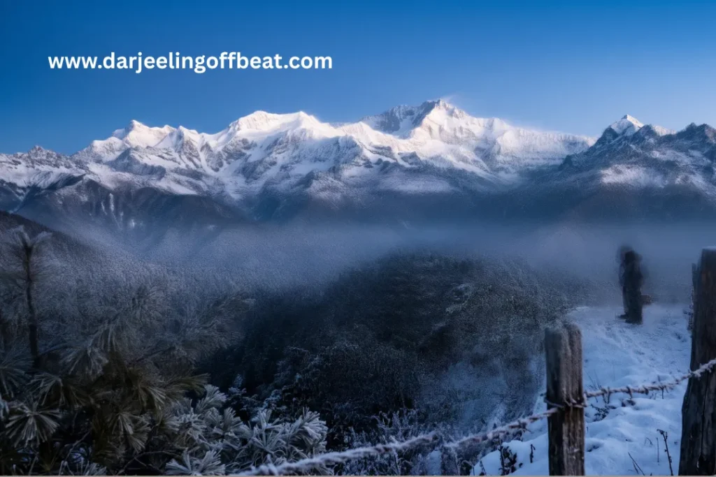
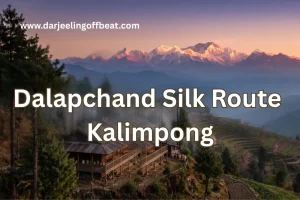
At its core, Dalapchand Silk Route Kalimpong is a temperate mountain village on a ridge surrounded by pine forest, with terraced slopes below and a Kanchenjunga view that appears — on clear mornings — with the kind of dramatic unexpectedness that makes you stop walking mid-step.
The elevation sits in that temperate zone where pine forest dominates the ridge tops and mixed broadleaf forest fills the sheltered slopes and valleys. Temperatures here are moderate — properly cool rather than alpine cold for most of the year, genuinely cold in the winter months of December through February.
The terraced agricultural landscape is still working farmland — not decorative. Local crops, cardamom in the lower forest zones, vegetables on the upper terraces, fruit orchards on the sheltered slopes. The village has the texture of a place that hasn’t been redesigned for tourism — where the farms are farms, the paths between properties are working paths, and the only reason the view from the ridge is spectacular is that the ridge is where the village happens to be.
The Kanchenjunga view is real and significant. The mountain appears in the northwest, across the layered ridgelines of Kalimpong district, on clear mornings typically from October through December and again in spring. Seeing the world’s third highest peak from a quiet ridge village where nobody else is standing watching it is a different experience from seeing it from a crowded viewpoint with fifty other tourists. Dalapchand offers the former.
Upper Dalapchand and Lower Khasmahal — Two Characters
The settlement is not uniform, and the distinction between its two main zones matters when planning your stay.
Upper Dalapchand sits on the higher ridge, with more direct exposure to Kanchenjunga views and the temperate pine forest landscape. Properties here tend toward the quieter, more isolated end of the spectrum — homestays surrounded by forest and terraced farmland with minimal motor traffic and maximum atmospheric clarity. This is where you come if the forest and the mountain view are the priority.
Lower Khasmahal occupies a lower position with slightly different topography and forest character. Access here is generally easier, and properties may be marginally more connected to the main road corridor. For travellers who want the Silk Route village experience with slightly simpler logistics, this sector is worth considering.
Both sectors operate primarily on the homestay model — family-run accommodation integrated into working farmsteads, with home-cooked meals and hosts who know the surrounding landscape in the practical, generational way that no travel app can substitute.
The Silk Route Circuit — Destinations Around Dalapchand
Dalapchand’s geographic position makes it a natural hub for exploring the broader Old Silk Route corridor. The destinations around it form a coherent circuit that can be covered across three to five days without retracing your route — which is the mark of a well-designed travel region.
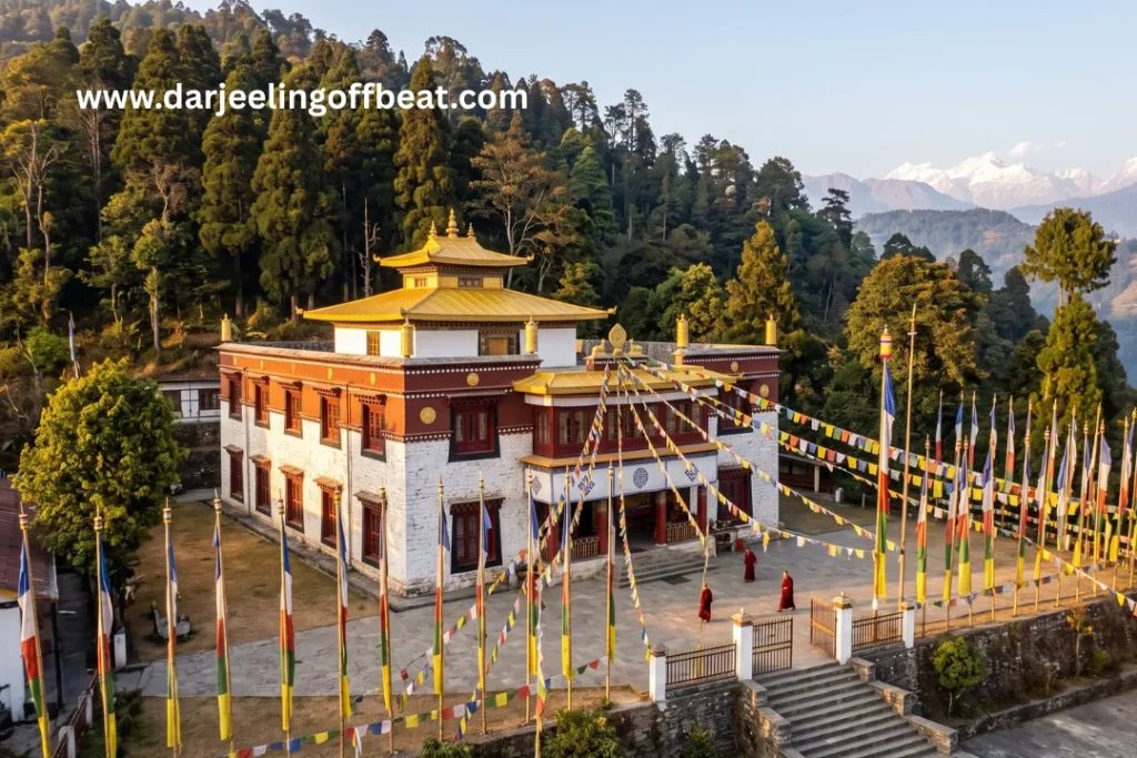
Pedong lies between Dalapchand and Kalimpong on the main road — a small town with a Bhutanese fort ruin, a prominent monastery, and a community that has lived at the intersection of Bhutanese, Sikkimese, and Bengali cultural influences for centuries. Worth a half-day.
Aritar (Lampokhari) in East Sikkim, just across the state border, offers the famous Aritar Lake — a natural lake surrounded by forest that is particularly beautiful in autumn. The lake sits within a circuit of forest walks and viewpoints that complement the drier ridge landscape of Dalapchand nicely.
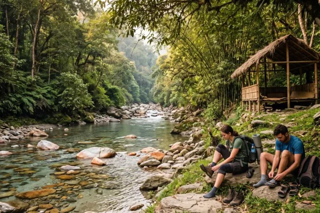
Reshikhola sits along the Rishi River in the valley below the Silk Route corridor — a riverside village with a quiet, river-focused character that contrasts well with the ridge-top experience of Dalapchand. The Rishi River here is clear, accessible, and ideal for those who want to trade mountain air for river sound for a day.
Rongli and Rongyong are Sikkimese villages further along the Silk Route corridor, higher in elevation, with a more frontier character. Access requires crossing into Sikkim, so carry appropriate permits.
Algarah between Kalimpong and Dalapchand is another quiet ridge village worth a stop — a place that most travellers pass through without realising it deserves more than transit attention.
The full circuit — Kalimpong to Algarah to Pedong to Dalapchand to Aritar to Reshikhola to Rongli — covers the Silk Route corridor comprehensively and works beautifully as a week-long itinerary.
When to Visit Dalapchand Silk Route Kalimpong
October to December — Peak Season
The post-monsoon clarity makes this the finest period for Kanchenjunga views and the full visual sweep of the Silk Route corridor. The air is clean, the forest is still green from monsoon rains, and the light in October and November has that particular golden quality of high-altitude autumn. December brings cold nights but exceptional clarity.
March to May — Spring
The forest warms, wildflowers appear along the trails, and the agricultural terraces come back to life after winter. March and April offer some of the year’s best dawn light on Kanchenjunga. A gentler time to visit than peak autumn season, with fewer fellow travellers on the circuit.
January to February — Winter
Cold and quiet. The village is at its most isolated and its most atmospheric. Snow occasionally dusts the higher ridgelines, and the Kanchenjunga views on clear winter days are razor sharp. For those who are properly equipped and enjoy the intensity of a winter mountain landscape, this is a genuinely rewarding time to come.
June to September — Monsoon
Heavy rainfall, mist, and swollen rivers transform the landscape. The Pedong and Algarah road can be affected by landslides. Travel is possible but requires careful planning and flexibility. The forest in monsoon is extraordinary in its green intensity — but this is a season for experienced hill travellers rather than first-timers.
Staying at Dalapchand — The Homestay Experience
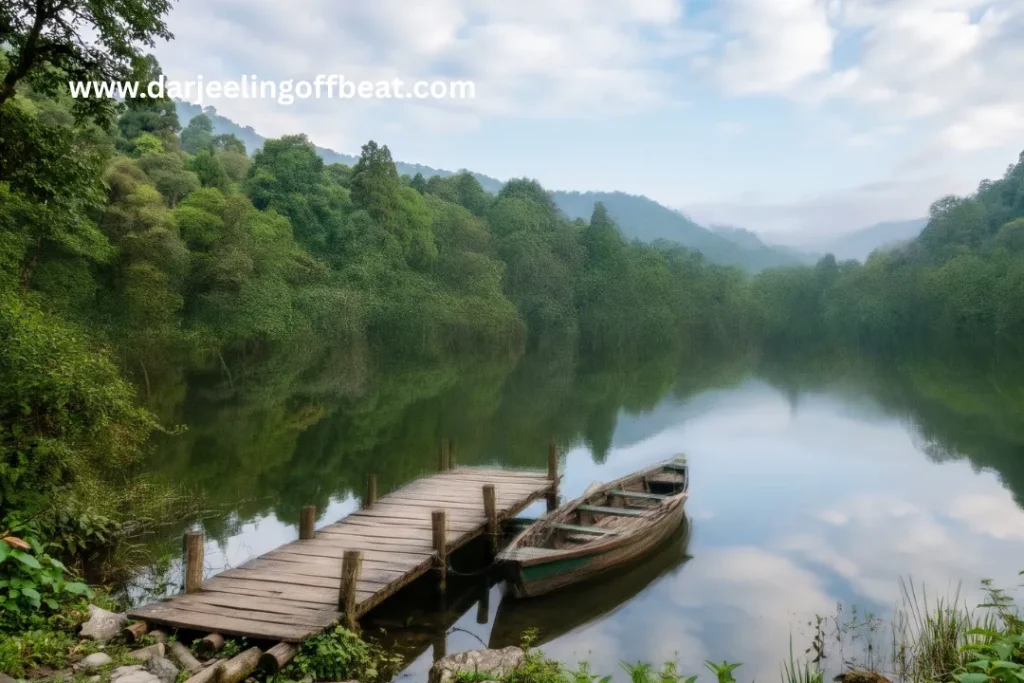
Accommodation at Dalapchand is overwhelmingly homestay-based, and the homestay model here has the character of a place that adopted it out of genuine community decision rather than commercial calculation. Properties are family-run, embedded in working farms, and structured around the rhythms of village life rather than tourist convenience.
Meals are home-cooked from local produce — seasonal vegetables from the terraced plots, eggs from farm chickens, local dairy, and the warming mountain staples of dal-bhat, thukpa, and occasionally Tibetan and Sikkimese preparations that reflect the cultural crossroads Dalapchand sits on. The food tells you where you are in a way that a restaurant menu never could.
The pace of life here is early and quiet. Mornings begin before light if you’re serious about the Kanchenjunga view. Evenings end early around shared meals and wood fires. In between, there’s forest to walk, a circuit of destinations to explore, and the particular pleasure of sitting on a ridge at the boundary of two states watching the Himalayan light change through the afternoon.
Mobile connectivity is limited and should not be relied upon. This is either an inconvenience or the entire point, depending on why you came.
Dalapchand for Different Kinds of Travellers
For Silk Route circuit travellers, Dalapchand is the obvious overnight stop between Kalimpong and Aritar — central enough to anchor two or three days of circuit exploration without feeling like a transit point.
For those seeking mountain views without crowds, the Kanchenjunga visibility from Dalapchand’s upper ridge is equivalent to what you’d see from more famous viewpoints in the region, without the infrastructure of managed tourism around it. You see the same mountain. You see it alone.
For photographers, the combination of ridge-top pine forest, terraced farmland, cross-border views, and exceptional morning light creates the kind of compositional variety that keeps a camera busy across multiple days.
For those doing a West Bengal–Sikkim combined itinerary, Dalapchand’s border position makes it the natural pivot point — close enough to Kalimpong for a West Bengal base, close enough to Pakyong and Aritar for a Sikkim beginning.
Why Dalapchand Now
The Old Silk Route corridor has been talked about in offbeat travel circles for several years, but much of that conversation has focused on the Sikkim side of the route — Zuluk, Nathang Valley, Kupup. The West Bengal entry points to the same corridor — Pedong, Algarah, Dalapchand — have received far less attention despite offering equivalent landscape quality and considerably more accessibility.
Dalapchand Silk Route Kalimpong is the best-positioned and least-visited of those entry points. The infrastructure is modest but functional. The community is oriented toward thoughtful, low-density tourism. The landscape is intact. And the circuit around it — connecting West Bengal to Sikkim through a living historical trade route — is one of the most coherent multi-day itineraries available in the Eastern Himalayas.
The window for visiting a place like this before it becomes widely known is always narrower than it looks. Dalapchand is worth visiting on this side of that window.
Elevation: Temperate ridge zone, pine forest altitude
Border: Kalimpong district (WB) / Pakyong district (East Sikkim)
From NJP: 80–108 km | From Bagdogra: 85–117 km | From Pakyong Airport: ~62 km
Route: Siliguri → NJP → Kalimpong → Algarah → Pedong → Dalapchand
Best seasons: October–December and March–May
Circuit: Pedong, Aritar, Reshikhola, Rongli, Algarah
Don’t miss: Kanchenjunga dawn view from upper ridge, Aritar Lake day trip, Reshikhola riverside, Pedong monastery
Here in this blog post, we cover all about Dalapchand village Kalimpong, Dalapchand Silk Route, Old Silk Route West Bengal, offbeat places near Kalimpong, Dalapchand homestay, Pedong Algarah Dalapchand, Kalimpong Sikkim border village, Aritar Dalapchand circuit, Old Silk Route eco-tourism, Kanchenjunga view Kalimpong, West Bengal Sikkim offbeat tour, Reshikhola Dalapchand, Upper Dalapchand Khasmahal, offbeat North Bengal tourism, Silk Route corridor homestay, Kalimpong district hidden village, Pakyong Dalapchand route, Eastern Himalayan Silk Route, offbeat Sikkim border village, Kalimpong travel guide
- Kashyem Kaman Kalimpong Teesta Rangpo Confluence View 2026: The Cedar Ridge
 Kashyem Kaman Kalimpong Teesta Rangpo confluence view — Teesta-Rangpo confluence below and Kanchenjunga above — plus Cinchona heritage trails and cedar forest homestays at ₹1,250/day. There is a specific kind of view that requires exactly the right elevation — too high and the cloud covers everything, too low and the angle is wrong. Kashyem Kaman …
 - Kalijhora Homestay & Teesta Travel Guide: How a Picnic Spot Turned Into North Bengal’s Quietest Adventure HubKalijhora homestay guide: where to stay near the Teesta, rafting routes & prices, Panboo ridge views, and everything to plan your North Bengal trip If you’ve driven up NH10 from Siliguri toward Kalimpong or Darjeeling, you’ve passed through Kalijhora without necessarily noticing it. That’s kind of the point. It sits about 28 kilometres north of …
- Goiri Gaon, Kalimpong: The Village the Forest Kept Secret — Now With the Full StoryGoiri Gaon Kalimpong Neora Valley offbeat — red panda corridor, Maria Busty 1891 church, Pedong Silk Route ruins, and homestay-only model. Complete offbeat guide inside. There are places in the Eastern Himalayas that exist in a kind of geographical grace — tucked far enough from the main roads that the noise of modern hill tourism …
- Gitkolbong Village Kalimpong: The Village That Climbs From River to RidgeGitkolbong village Kalimpong near Lava, with tea plantations, the Gitkhola river, and a ridge trail to Gitkolbong Top with Kanchenjunga views. Complete offbeat travel guide inside. Some places reveal themselves slowly. You arrive, and the first impression is modest — a quiet mountain village, some terraced farmland, a stream you can hear before you see …
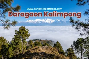
- Daragaon Kalimpong Kanchenjunga View Where the Clouds Stay Below YouDaragaon Kalimpong Kanchenjunga view— offers a rare sea-of-clouds sunrise view with the world’s third-highest peak floating above the Teesta valley. Complete travel guide inside. There’s a moment that happens at Daragaon — usually around six in the morning, usually in October or November — that people struggle to describe accurately afterwards. You’re standing at the …
- Dalapchand Silk Route Kalimpong: Where West Bengal Meets SikkimSome destinations, like Dalapchand Silk Route Kalimpong, exist because someone put them on a map, and others exist because the landscape demanded them. Dalapchand is the second kind. Sitting right on the border zone between Kalimpong district in West Bengal and Pakyong district in East Sikkim, this quiet mountain hamlet occupies a genuinely rare position. …
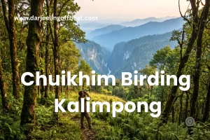
- Chuikhim birding Kalimpong: That Sits Between Two WorldsThere’s a particular kind of traveller who plans a trip around a bird. Who wakes before the alarm, walks quietly into the forest before dawn, and stands absolutely still for twenty minutes because something small and extraordinary might appear in the canopy above. If you know this feeling — or suspect you might — then …
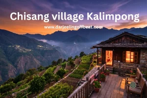
- Chisang Village Kalimpong: Where India Ends and Bhutan BeginsThere’s something quietly extraordinary about standing at the edge of a country and not at an airport or a formal border crossing, but on a hillside at dusk, looking across a valley into another nation’s lights. No fence in sight, no checkpoint, just a ridge and a silence and the slow understanding that the world …
- Bidyang Village, Kalimpong: A Riverside Escape You Didn’t Know You NeededSome places earn their reputation through grandeur — towering peaks, famous monasteries, names that appear on every travel list. And then there are places like Bidyang Kalimpong, which earn theirs more quietly. The sound of a river running over stones. The smell of cardamom on a warm afternoon. A valley so tucked away from the …




North Bengal's offbeat magic is my muse. I find adventure in whispering waterfalls, vibrant village life, and breathtaking Himalayan vistas. Join me as I delve deeper, seeking stories and experiences beyond the mainstream, from Darjeeling's tea havens to the unexplored corners of this incredible region