
Gitkolbong village Kalimpong near Lava, with tea plantations, the Gitkhola river, and a ridge trail to Gitkolbong Top with Kanchenjunga views. Complete offbeat travel guide inside.
Some places reveal themselves slowly. You arrive, and the first impression is modest — a quiet mountain village, some terraced farmland, a stream you can hear before you see it. Then you start walking. The landscape opens. The ridge climbs above you. The stream drops away below. And somewhere between the river at the bottom and the hilltop at the top, you realise that what appeared to be a single village is actually several different worlds stacked on top of each other, each with its own climate, its own vegetation, its own particular quality of light. Gitkolbong is that kind of place.
Situated in the Kalimpong district of West Bengal, roughly 40 kilometres from Kalimpong town and just 8 kilometres from the high-altitude settlement of Lava, Gitkolbong occupies what ecologists would call a critical transitional montane zone — the kind of position in the
Eastern Himalayas where subtropical characteristics meet temperate ones, where the species and soils and temperatures of two different ecological worlds overlap and negotiate. For the traveller, this translates into something simpler and more immediate: extraordinary variety within a surprisingly small area.
Tea plantations. Dense forest pockets. Terraced vegetable plots. A perennial mountain stream at the valley bottom. And above it all, the Kanchenjunga massif — appearing through forest clearings and from the high ridge with the particular weight that the world’s third-highest peak always carries, regardless of how many times you’ve seen it.
The Landscape Architecture of Gitkolbong village Kalimpong
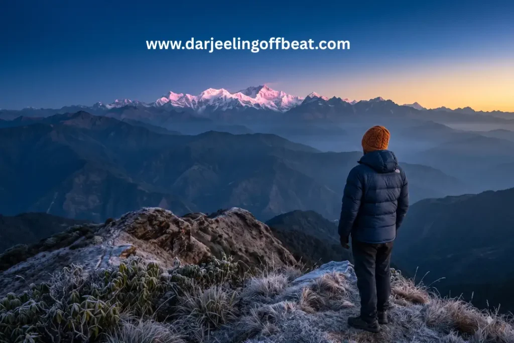
Understanding Gitkolbong means understanding its vertical structure. This is not a flat or even uniformly sloped village — it’s a landscape of pronounced vertical relief that creates genuinely distinct zones within a single administrative hamlet.
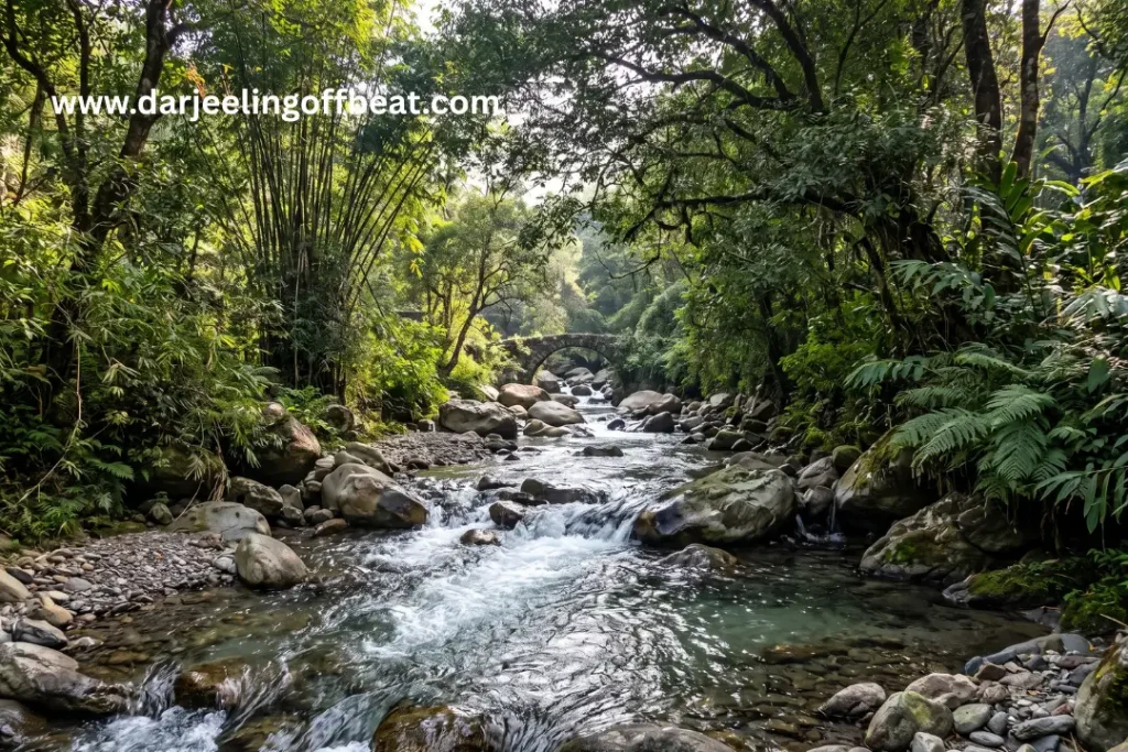
At the bottom, the Gitkhola — also documented as the Gitkol Khola — runs as a perennial mountain stream through the valley floor. This river is the hydrological heart of the village: it feeds the irrigation channels that water the terraced agricultural plots, supplies domestic water to the households on the slopes above, and creates a riparian environment at its banks that supports a specific ecosystem of streamside vegetation and waterbird life. The Gitkhola‘s valley is temperate and relatively sheltered — humid, green year-round, protected from the exposed ridge winds.
From that river basin, the landscape ascends sharply. Terraced fields step up from the water. Forest thickens as elevation increases. The village properties are distributed across this ascent, each sitting within a slightly different microclimate depending on their position on the slope.
At the top of this vertical sequence — reached via a 1.5-kilometre uphill trail from the central village hub — sits Gitkolbong Top. This high vantage point is where the landscape opens completely, the ridge exposed to the sky in all directions, sub-zero temperatures possible in winter, brief snowfall not uncommon in the coldest months. The view from Gitkolbong Top across to the Kanchenjunga massif, with the layered ridgelines of the Kalimpong hills dropping away below, is the kind that confirms you’ve climbed for the right reasons.
River to ridge. Riparian to alpine. One trail, 1.5 kilometres, a completely different world at the top.
Getting to Gitkolbong village Kalimpong
The approach to Gitkolbong benefits from its position near Lava — one of the better-known offbeat destinations in the Kalimpong hills — which means the road infrastructure is serviceable and the route is reasonably well-established.
From Kalimpong town: Approximately 40 kilometres, typically 1.5 to 2 hours by road, climbing through the hill network toward the Lava zone before branching toward Gitkolbong.
From Lava: Just 8 kilometres — making Gitkolbong an easy extension for anyone already visiting Lava, and a natural pairing in a Kalimpong hills itinerary.
From New Jalpaiguri (NJP): Around 100–110 kilometres — NJP is the primary railhead for the region, well connected to Kolkata and major cities. The drive up through the Teesta valley and into the Kalimpong hills is itself a scenic introduction to the landscape.
From Bagdogra Airport: Approximately 105–115 kilometres.
From Siliguri: Roughly 85–90 kilometres via the Kalimpong road network.
The road to Gitkolbong passes through forest that grows denser and cooler as you climb. The final kilometres approach from the Lava direction through pine and broadleaf woodland — a pleasant arrival corridor that settles you into the landscape before you’ve even stopped the vehicle.
The Lava-Algarah bypass road passes through or near Gitkolbong — the same road that made Tandrabong and the Mairung Valley accessible. This road provides a direct connection between Gitkolbong and the Algarah-Pedong-Silk Route corridor, extending the circuit possibilities significantly.
Gitkolbong Top sits at a specific elevation of 2,850 metres (9,350 feet) — making it one of the higher accessible ridge viewpoints in the immediate Lava circuit zone.
The Gitkolbong Tea Estate — An Unexpected Layer
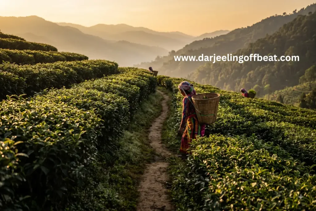
Tea is not the first thing most people associate with the Kalimpong hills — Darjeeling gets that reputation almost entirely. But Gitkolbong has tea, and it adds a dimension to the landscape that’s worth exploring properly rather than passing by.
The tea plantations here are set against the backdrop of the Kanchenjunga massif, which creates a visual context that even the most famous Darjeeling gardens rarely match. Walking the plantation rows in the morning, with the mountain visible above and the mist still in the valley below, is an experience with a quality all its own.
The tea grown here operates within the broader Kalimpong hill agriculture system — smaller in scale than the major Darjeeling estates, embedded more directly into a landscape that also includes forest, cardamom, and food-crop terraces. That integration is part of what makes Gitkolbong‘s agricultural landscape feel coherent rather than monocultural.
During the flush seasons — spring (March to May) and autumn (September to November) — the plantation activity peaks and the landscape has an additional layer of working energy. If you have the opportunity to walk the rows during a harvest period, take it.
The Agrarian Landscape — What the Village Grows
Beyond tea, Gitkolbong‘s agricultural system is diverse and adapted to the vertical range of microclimates the landscape offers.
The terraced plots climbing from the Gitkhola upward support a rotation of crops that changes with the seasons and with elevation — vegetables, ginger, and other food crops on the lower and mid-slopes, with the higher terrain increasingly given to forest and the exposed ridge. The terracing itself is a form of inherited engineering — generations of farming families have shaped these hillsides into productive land through patient, incremental work that the landscape still reflects.
The forest pockets interspersed through the village agricultural land are not incidental. In a landscape bordering the high-altitude Lava zone — which sits within the broader ecological corridor connecting to Neora Valley National Park — the forest serves as a habitat corridor, water catchment, and carbon store simultaneously. Gitkolbong’s position within this corridor means its forest is ecologically connected to one of the most biodiverse protected areas in the Eastern Himalayas.
This is not a village that has cleared its forest for farmland. The two exist in deliberate balance, and that balance is visible in the landscape’s health.
Gitkolbong village Kalimpong Top — The Walk Worth Taking
The 1.5-kilometre trail from the village centre to Gitkolbong Top is the defining experience of a stay here, and it should be walked at least twice — once at dawn and once at a different hour, because the landscape reads differently at different times of day.
The trail climbs through forest before breaking out onto the exposed ridge at the top. The transition is abrupt enough to feel deliberate — the forest closes around you as you climb, then releases you suddenly onto the open hilltop with sky in all directions and the full Kanchenjunga panorama laid out across the horizon.
On clear mornings — particularly in the dry seasons of autumn and winter — the view from Gitkolbong Top encompasses not just Kanchenjunga but the broader Himalayan crest line to the north, the layered green ridgelines of the Kalimpong hills below, and on exceptional days, the distant plains of North Bengal visible at the very edge of visibility to the south.
In winter, the Top experiences sub-zero temperatures and occasional light snowfall. Coming up here on a cold, clear morning — breath visible, ground frost underfoot, the mountain pink in the first light — is one of those compact moments of experience that the Himalayan hills specialise in producing.
The trail itself is forest walking for most of its length. Take a local guide from the village on your first ascent — they’ll know where to stop for views through the forest canopy and which sections require care in wet conditions.
Where to Stay — The Homestay Character
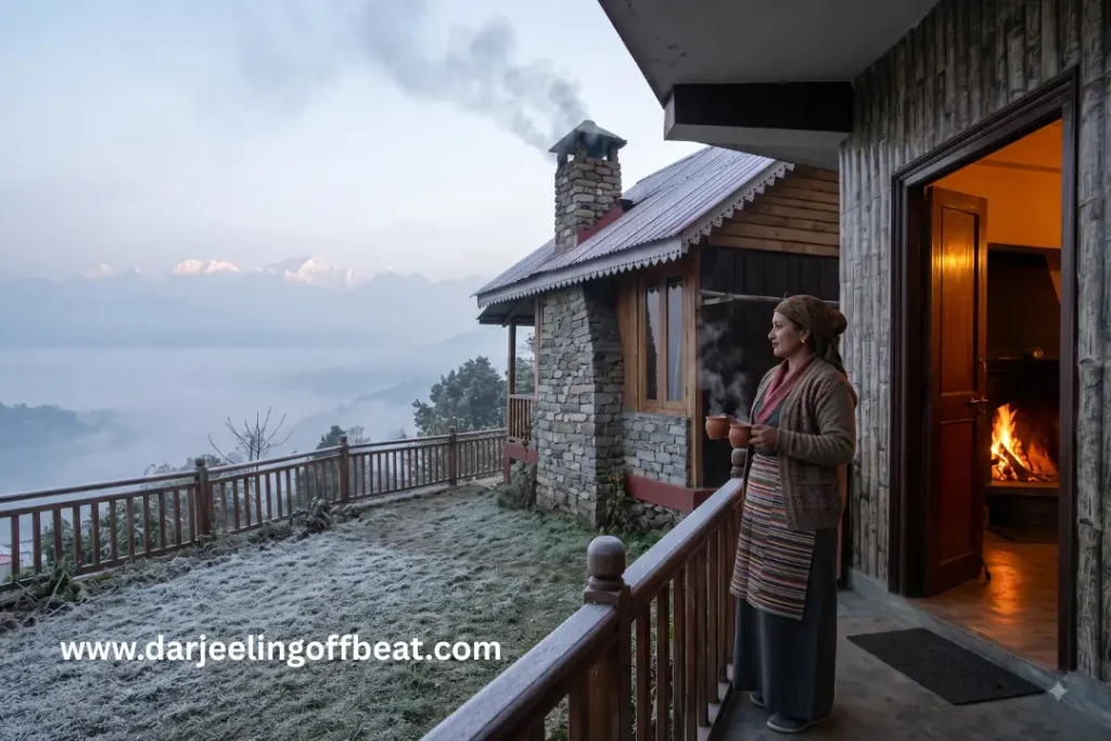
Accommodation in Gitkolbong village Kalimpong is homestay-based, integrated directly into the farming families of the village. This is not a resort destination and makes no pretence of being one. Rooms are clean and simple. Meals are home-cooked from local produce — vegetables from the terraced plots, eggs from village chickens, seasonal fruits, and the warming staples of dal, rice, and thukpa that sustain life at this altitude in winter.
Homestay rates at Gitkolbong typically run ₹1,500 to ₹2,500 per person per night on full board — breakfast, lunch, evening tea with snacks, and dinner included. This full-board model means food logistics require no separate planning.
The particular advantage of a Gitkolbong homestay is the direct connection to the agricultural landscape. Your breakfast vegetables came from the terraces you walked through yesterday. Your host’s daily schedule is shaped by farming rhythms that pre-date tourism by generations. This is not a background detail — it’s the substance of what makes staying in a working village different from staying in a managed tourism property.
Evening meals here have the warmth of meals eaten with family — unhurried, conversational, accompanied by whatever tea was harvested most recently from the plantation on the slope above. The fire is usually on. The valley sounds come up from below. Sleep at this altitude, in this quiet, is the specific, deep sleep of a day spent outdoors.
The Lava Connection — A Natural Pairing
The 8-kilometre distance between Gitkolbong village Kalimpong and Lava is one of the most useful geographical facts about this destination. Lava is the better-known hub — it has established birding infrastructure, direct access to the Neora Valley National Park boundary, and a network of forest walks that are among the best in the Kalimpong hills. It also has more accommodation options and slightly better connectivity.
Using Gitkolbong village Kalimpong and Lava together — a night or two in each, with day excursions into the Neora Valley forest from Lava and the Gitkolbong Top trail from Gitkolbong — creates a coherent, unhurried hill itinerary that covers both the quieter village character and the ecological depth of the national park corridor.
Lolaygaon (Kafer), reachable from the same road network, adds the canopy walkway experience to the circuit. Charkhole on the upper ridge completes a four-destination loop that covers the eastern Kalimpong highlands thoroughly.
Birding and Wildlife at Gitkolbong
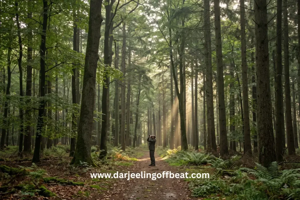
The forest corridor connecting Gitkolbong village Kalimpong to the Lava-Neora Valley ecological zone makes this village genuinely interesting territory for birdwatching, even outside the formal birding circuit centred on Lava itself.
The riparian habitat along the Gitkhola supports riverine specialists. The mixed forest on the ascending slopes holds the mid-altitude Himalayan species that this elevation range is known for — laughingthrushes, babblers, flycatchers, sunbirds, and a rotating cast of migrant species during the spring and autumn passage windows.
At Gitkolbong village Kalimpong Top, the exposed ridge-edge habitat attracts raptors and high-altitude species that don’t descend to the village level. Birding the full vertical transect — from the Gitkhola riverbank at the bottom to the Top at the ridge — covers three distinct habitat types within a single morning’s walking.
The absence of heavy tourist footfall means the forest here is genuinely undisturbed. Species that are present but difficult to locate in high-traffic birding sites appear more readily in quieter terrain. Gitkolbong village Kalimpong is quieter terrain.
Beyond the dominant oak and rhododendron, the forest includes:
- Silver Fir (Abies spectabilis) — on the upper slopes approaching Gitkolbong Top
- Magnolia (Magnolia campbellii) — spectacular large-flowered tree species that blooms in late winter before leaf-out
- Himalayan Cherry (Prunus cerasoides) — the wild cherry whose November-December pink bloom is one of the least-celebrated but most beautiful seasonal events in the circuit
Beyond the red panda corridor species, documented fauna in the Gitkolbong-Neora Valley zone includes:
- Indian Leopard (Panthera pardus) — present in the forest, evidenced by pugmarks and kill signs rather than direct sighting
- Barking Deer (Muntiacus muntjak) — commonly encountered at forest margins at dawn and dusk
- Indian Crested Porcupine (Hystrix indica) — nocturnal, evidenced by quills and digging activity on forest floor trails
When to Visit
October to December — Post-Monsoon Clarity
The finest season for views, including Kanchenjunga from Gitkolbong village Kalimpong Top. The air is clean after monsoon, the forest is still lush, and the light in October and November is exceptional. December brings cold — proper cold at the Top — but the mountain visibility is outstanding. Pack serious layers for evenings and the ridge walk.
March to May — Spring and Tea Flush
Wildflowers appear in the forest. The tea plantation enters its spring flush season. Migrant birds move through the forest corridor. Temperatures are comfortable through the day with cool evenings. An excellent time for the full vertical transect walk.
January to February — Winter
Cold, quiet, occasionally snow-dusted at the Top. The Kanchenjunga views on clear winter days are razor sharp. For those properly equipped, this is a rewarding and very uncrowded time to visit. The village is at its most atmospheric — wood fires, mist in the valley, the mountain brilliant white against cold blue sky.
June to September — Monsoon
Heavy rainfall, dense forest mist, difficult road conditions on some routes. The landscape is extraordinarily green, the Gitkhola runs full and fast, and the forest is alive with monsoon intensity. Not the season for views, but the season for those who want to experience the hills at their wettest and wildest.
Why Gitkolbong village Kalimpong Deserves More Attention
The Lava-Lolaygaon-Neora Valley circuit in the eastern Kalimpong hills is well established among offbeat travellers. Gitkolbong village Kalimpong sits 8 kilometres from that circuit’s primary hub, offers an agricultural and vertical landscape variety that Lava itself doesn’t have, and remains genuinely less visited than any of its neighbours.
- Changey Falls — 5 km from Gitkolbong, making the waterfall a natural half-day addition from the village base
- Kolakham — 6 km, the dedicated birding village accessible as a day excursion
The combination of river, forest, tea plantation, village farmland, and exposed high ridge — all within a 1.5-kilometre vertical transect — is unusual. Most Himalayan village destinations offer one or two of these. Gitkolbong offers all of them, arranged in a sequence that rewards exploration across multiple days rather than a single checklist visit.
It’s the kind of place that people who’ve been there tend to mention quietly when someone asks about the Kalimpong hills — not because they want to keep it secret exactly, but because the experience feels personal enough that recommendation comes with a sense of responsibility. Go quietly. Walk the Top at dawn. Eat breakfast with the family. Give the village what it gives back.
Distance from Kalimpong: ~40 km | From Lava: ~8 km
From NJP: ~100–110 km | From Bagdogra: ~105–115 km
Key feature: Gitkolbong Top — 1.5 km ridge trail from village centre
Ecological corridor: Lava–Neora Valley National Park
Best seasons: October–December and March–May
Circuit: Lava, Lolaygaon, Charkhole, Neora Valley
Don’t miss: Dawn walk to Gitkolbong Top, tea plantation morning walk, Gitkhola riverbank birding
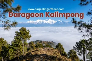
Daragaon Kalimpong Kanchenjunga View Where the Clouds Stay Below You
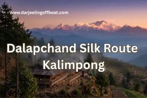
Dalapchand Silk Route Kalimpong: Where West Bengal Meets Sikkim
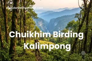
Chuikhim birding Kalimpong: That Sits Between Two Worlds
Q.1: What is the elevation of Gitkolbong Top?
Ans: Gitkolbong Top is at 2,850 metres (9,350 feet) — reached via a 1.5 km trail from the village centre.
Q.2: What does Gitkolbong tea estate homestay cost?
Ans: Full-board homestays run approximately ₹1,500 to ₹2,500 per person per night — all meals included.
Q.3: How far is Changey Falls from Gitkolbong?
Ans: 5 kilometres — easily combined as a half-day excursion from a Gitkolbong base.
Q.4: What wildlife is documented at Gitkolbong beyond red panda?
Ans: Indian Leopard, Barking Deer, and Indian Crested Porcupine are all documented in the Gitkolbong-Neora Valley zone alongside the red panda corridor species.
- Kashyem Kaman Kalimpong Teesta Rangpo Confluence View 2026: The Cedar Ridge
 Kashyem Kaman Kalimpong Teesta Rangpo confluence view — Teesta-Rangpo confluence below and Kanchenjunga above — plus Cinchona heritage trails and cedar forest homestays at ₹1,250/day. There is a specific kind of view that requires exactly the right elevation — too high and the cloud covers everything, too low and the angle is wrong. Kashyem Kaman …
 - Kalijhora Homestay & Teesta Travel Guide: How a Picnic Spot Turned Into North Bengal’s Quietest Adventure HubKalijhora homestay guide: where to stay near the Teesta, rafting routes & prices, Panboo ridge views, and everything to plan your North Bengal trip If you’ve driven up NH10 from Siliguri toward Kalimpong or Darjeeling, you’ve passed through Kalijhora without necessarily noticing it. That’s kind of the point. It sits about 28 kilometres north of …
- Goiri Gaon, Kalimpong: The Village the Forest Kept Secret — Now With the Full StoryGoiri Gaon Kalimpong Neora Valley offbeat — red panda corridor, Maria Busty 1891 church, Pedong Silk Route ruins, and homestay-only model. Complete offbeat guide inside. There are places in the Eastern Himalayas that exist in a kind of geographical grace — tucked far enough from the main roads that the noise of modern hill tourism …
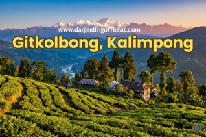
- Gitkolbong Village Kalimpong: The Village That Climbs From River to RidgeGitkolbong village Kalimpong near Lava, with tea plantations, the Gitkhola river, and a ridge trail to Gitkolbong Top with Kanchenjunga views. Complete offbeat travel guide inside. Some places reveal themselves slowly. You arrive, and the first impression is modest — a quiet mountain village, some terraced farmland, a stream you can hear before you see …
- Daragaon Kalimpong Kanchenjunga View Where the Clouds Stay Below YouDaragaon Kalimpong Kanchenjunga view— offers a rare sea-of-clouds sunrise view with the world’s third-highest peak floating above the Teesta valley. Complete travel guide inside. There’s a moment that happens at Daragaon — usually around six in the morning, usually in October or November — that people struggle to describe accurately afterwards. You’re standing at the …
- Dalapchand Silk Route Kalimpong: Where West Bengal Meets SikkimSome destinations, like Dalapchand Silk Route Kalimpong, exist because someone put them on a map, and others exist because the landscape demanded them. Dalapchand is the second kind. Sitting right on the border zone between Kalimpong district in West Bengal and Pakyong district in East Sikkim, this quiet mountain hamlet occupies a genuinely rare position. …
- Chuikhim birding Kalimpong: That Sits Between Two WorldsThere’s a particular kind of traveller who plans a trip around a bird. Who wakes before the alarm, walks quietly into the forest before dawn, and stands absolutely still for twenty minutes because something small and extraordinary might appear in the canopy above. If you know this feeling — or suspect you might — then …
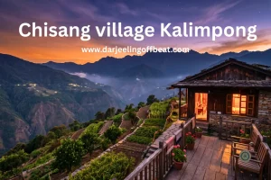
- Chisang Village Kalimpong: Where India Ends and Bhutan BeginsThere’s something quietly extraordinary about standing at the edge of a country and not at an airport or a formal border crossing, but on a hillside at dusk, looking across a valley into another nation’s lights. No fence in sight, no checkpoint, just a ridge and a silence and the slow understanding that the world …
- Bidyang Village, Kalimpong: A Riverside Escape You Didn’t Know You NeededSome places earn their reputation through grandeur — towering peaks, famous monasteries, names that appear on every travel list. And then there are places like Bidyang Kalimpong, which earn theirs more quietly. The sound of a river running over stones. The smell of cardamom on a warm afternoon. A valley so tucked away from the …




North Bengal's offbeat magic is my muse. I find adventure in whispering waterfalls, vibrant village life, and breathtaking Himalayan vistas. Join me as I delve deeper, seeking stories and experiences beyond the mainstream, from Darjeeling's tea havens to the unexplored corners of this incredible region